
Your scans.
Aligned.
On your iPad.
Register point clouds automatically. Refine the alignment when you need to. Clean up your scan data and export the result—right where you work.
Free capture and E57 export. Registration and cleanup require a paid plan.
Muted preview · use player controls to pause.Watch on YouTube ↗
New possibilities.
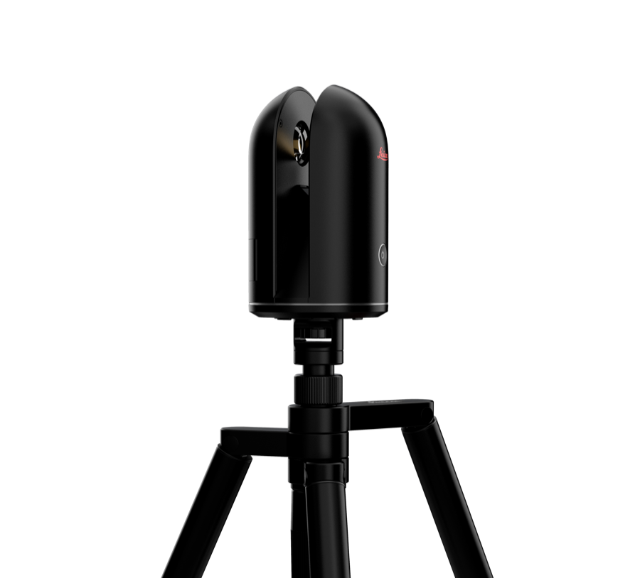
Native integration with the first-generation Leica BLK360. Exclusively for G1.
Let the app align.
Stay in control.
Bring separate scan positions into one coordinated point cloud. Run automatic registration, align two selected setups, or guide the process with a manual starting position.
- See the whole projectShow or hide named setups, rotate the 3D view and inspect the overlap.
- Choose your referenceLock aligned setups. Move and rotate others to provide a better starting point.
- Register and reviewAlign a pair or run full automatic registration against your locked setups. Review the result before export.
Follow the tutorial.Watch on YouTube ↗
Use panorama colours for context or a different colour for each setup to inspect alignment. Results and processing times depend on scan overlap, scene geometry, project size and iPad hardware.
Cleanup, demonstrated.Watch on YouTube ↗
Keep the space.
Leave out the noise.
Place a 3D sphere. Resize it. Move it through the areas you want to exclude.
Clean selected setups directly on the iPad. Excluded points are left out of both registration and E57 export, so the cleanup carries through to your deliverable.
A direct, spatial workflow—without painting around unwanted points on a flat image.
Your data.
Ready sooner.
Post-download point-cloud preparation is now approximately six times faster.
Once the scanner has transferred the data, OrthoGraph prepares each scan position for use on your iPad in around 6–10 seconds, down from 60–70 seconds.
This improvement applies to preparation after download—not Wi-Fi transfer speed. Actual times depend on the scan and iPad.
Same scanner. Less preparation time.
More than a scanner remote.
Keep the survey moving—from panoramic context to measurements, floor plans and BIM outputs.
Bring the site with you.
Control scan resolution, view 360° panoramas and add labels with photos and voice notes. Save projects on your iPad and return to them later.
Turn scans into structure.
With a paid plan, measure distances and surfaces, add freehand annotations and create floor plans and multi-story BIM models from your survey data.
Open formats. Useful outputs.
Export colourised point clouds as E57. Paid tools add registered, cleaned point-cloud workflows, plus IFC and DXF deliverables.
Start free.
Unlock the advanced tools.
The free app remains useful on its own. Choose a monthly or annual paid plan when you need registration, cleanup and Scan-to-BIM.
Capture & export
- BLK360 G1 scanner control and scan resolution settings
- 360° panoramic image viewing
- Labels, photos and voice notes
- Project transfer, saving and continued work on iPad
- Colourised E57 and image export
- Faster post-download preparation
Register. Clean. Measure. Model.
- Automatic and assisted point-cloud registration
- 3D sphere cleanup for registration and E57 export
- Distance and surface measurements
- Freehand annotations and floor-plan creation
- Multi-story Scan-to-BIM and setup alignment
- IFC and DXF export; on-site and off-site processing
Prices vary by App Store country or region. Check the app for your local price and current purchase terms. No free trial of the paid features.
Explore paid plans in the app ↗Capture reality.
Put it to work.
A point cloud records the space. Operational BIM connects that space to the assets, information and people who keep it running.
Use registered point clouds as a spatial reference for refurbishment, equipment-layout planning and understanding existing conditions in factories, offices and shopping centres.
Within the wider OrthoGraph Operational BIM approach, an operations-focused digital twin adds uniquely identified assets, structured maintenance information and accessible building context—kept current by the people on site.
Discover Operational BIM ↗A point cloud alone is not an Operational BIM system. Asset management and operational workflows belong to the wider OrthoGraph solution, not automatically to this app purchase.
A few important details.
Which scanner is supported?
Only the Leica BLK360 G1. OrthoGraph BLK360 has native integration with this first-generation scanner. It does not support other BLK360 generations.
Which iPad should I use?
We recommend iPad Air. iPad Pro provides additional performance. Entry-level iPad models are not recommended because point-cloud projects can reach their memory limits.
Can I guide the automatic registration?
Yes. Move and rotate an individual setup to provide an approximate starting position, then run automatic registration. Lock a reference setup to keep it in place while another setup aligns to it.
What happens to the points I exclude with cleanup?
Excluded regions are not used in registration and are omitted from E57 export. Cleanup is part of the paid registration feature.
Is the scanner download six times faster?
No. The improvement is in point-cloud preparation on the iPad after the data transfer. Preparation has decreased from around 60–70 seconds to 6–10 seconds per scan position; the physical transfer is a separate phase.
Is there a free trial?
The app has ongoing free features, but no free trial of the paid tools. A monthly plan is available if you want to use the advanced workflow before choosing an annual plan.
Make your next scan
more useful.
Registration, cleanup and practical deliverables. On your iPad.